Over Clare 360° — A Spectacular Interactive Journey Above County Clare
Take to the skies and explore County Clare from breathtaking new angles.
These interactive 360° aerial views capture the county’s cliffs, coasts, lakes, and heritage from every direction — revealing its drama, beauty, and quiet moments alike.
How to Explore in 360°
Click and drag (or swipe on mobile) to move in any direction.
For the most immersive view, we recommend you select the full-screen icon at the top right of each 360° image.
First, Choose the Area of Clare You’d Like to Explore in 360°
Within each zone you’ll find a selection of interactive 360° views — not everything, but enough to reveal the heart of Clare!
North Clare — The Burren and Beyond
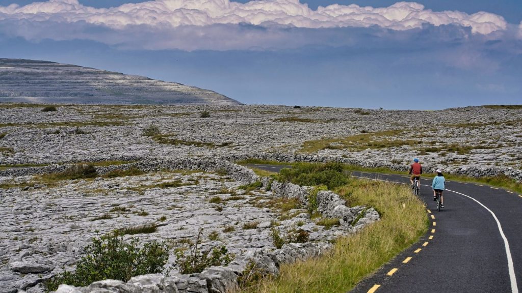
From the wild Atlantic coast and towering Cliffs of Moher to the limestone beauty of the Burren — a landscape alive with light, life, and legend.
East Clare — Lakes and Legends
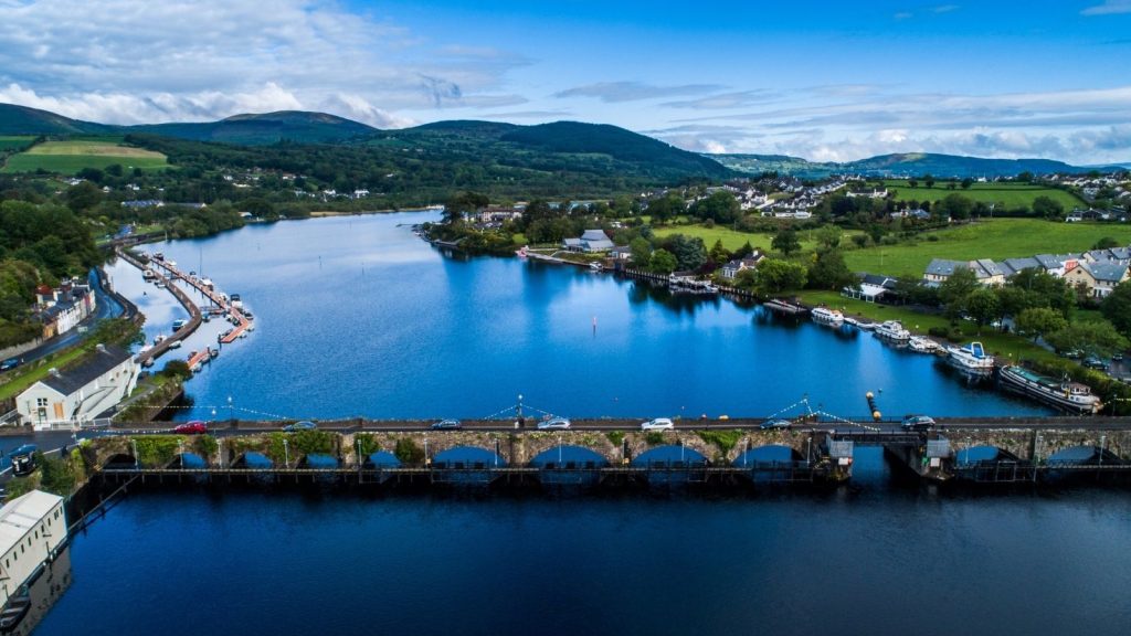
From the hills above Killaloe to the calm shores of Lough Derg, East Clare reveals a gentler beauty — green, tranquil, and steeped in story.
West Clare — The Atlantic Edge
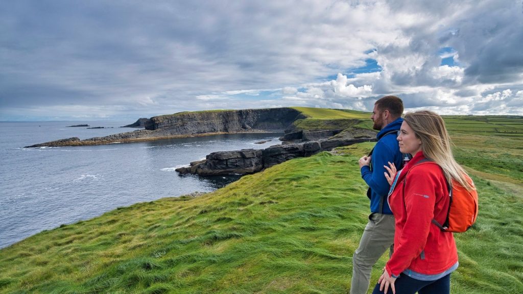
From Loop Head to Kilrush and Kilkee, the Atlantic shapes every view — wild coasts, open skies, and stories carried on the sea breeze.
Ennis & South Clare — Heart of Heritage
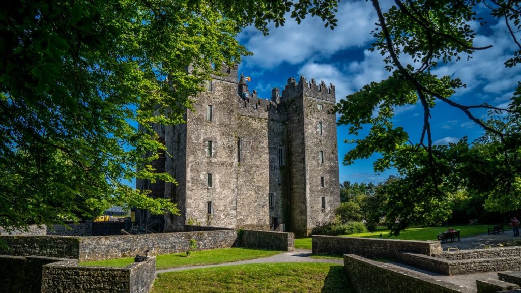
From the medieval heart of Ennis to Bunratty’s towers and ancient forts, this is Clare’s heritage heart — rich in history, charm, and character.