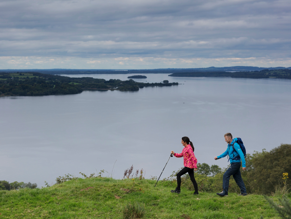
The Ballycuggaran Loop Walk is approx 5.6km and overlooks Lough Derg. The start of this loop walk is located in the townland of Ballycuggaran, near Killaloe, the homeland of the O’Cuggarans, an important family at the court of Brian Ború. The walk overlooks Lough Derg, the Annacarriga valley and the hills that stretch from Caherhurley to Ogonnelloe. The loop walk is marked in both directions – to get the best views walk the trail in an anti-clockwise direction.
Directions to trailhead
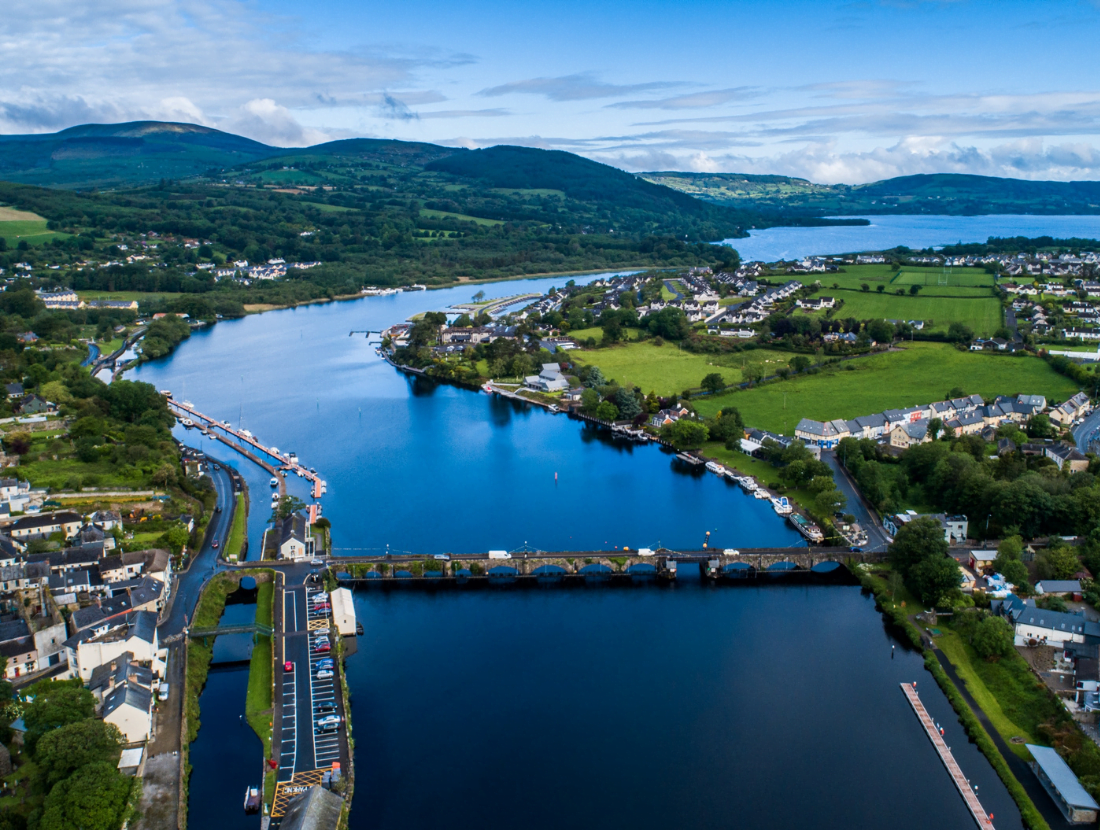
Start from the village of Killaloe, which is on the R463 from Limerick City and continue on the R463 in the direction of Ogonnelloe and Scarriff. After approximately 4 km, the trailhead is located on your right at Rinnaman Point (Two-mile Gate). This is a very spacious and popular lakeside public amenity area on the shores of Lough Derg. The trailhead and car park are located near the University of Limerick watersports and adventure centre and is signposted from Killaloe.
A-B: Your walk starts from the map board in the car park, turn right on the R463 towards Ogonnelloe/Scarriff. After approximately 100m, turn left onto a minor road following the red Shannon Region Trails arrows. You are also on the East Clare Way (marked with yellow arrows and the familiar trekking logo). Follow this minor road for approximately 2km until you meet a track heading uphill to the left.
B-C: Travel this forestry path for approximately 800m until you emerge on the Coillte-developed forestry road.
C-D: Turn left on this road towards Feenlea Mountain. Travel down the mountain overlooking the beautiful Lough Derg. This area is known as Crag Wood. The once great Oak woods have long gone, and now Sitka Spruce, Norway Spruce, Japanese Lurch and Noble Fir stand in its place. Make your way following the winding paths towards the R463.
D-E: At this junction, turn left and cross the road making your short trip back to the start of this route.
Good to Know
Trailhead: The loop starts/ finishes at Rinnaman Point (Two-mile Gate)
Services: Killaloe, Co. Clare (3 km)
Distance: 5.6 km from the trailhead
Time: 2 hrs
Difficulty: Moderate
Terrain: Mix of minor roadways, laneways, forestry roads and tracks
To Suit: Medium level of fitness.
Minimum Gear: Sturdy walking boots, waterproofs, rucksack, fluids, snacks and mobile phone.
About Killaloe