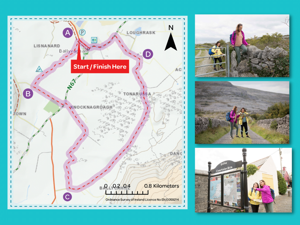
This 8km loop on minor roadways, green lanes, woodland and cross country, explores the valley behind the seaside village of Ballyvaughan with splendid views of the surrounding Burren’s folded limestone layers. It passes close by Ailwee Cave.
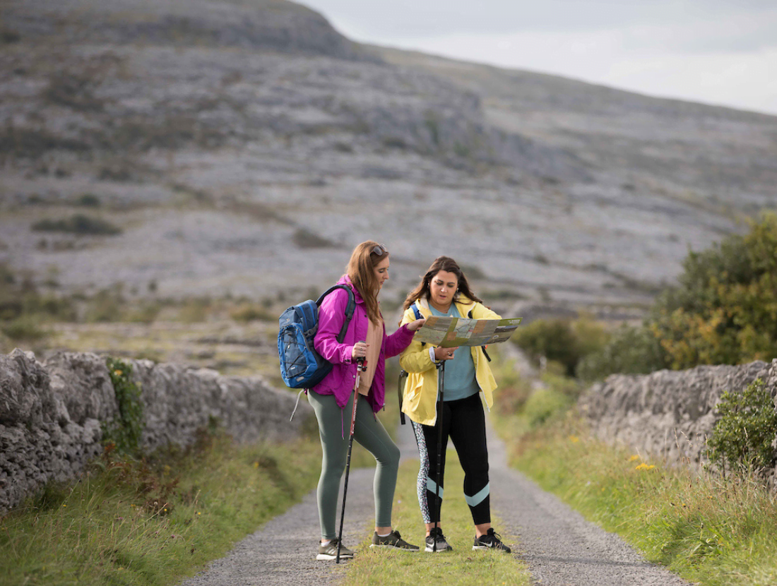
The Burren is a limestone plateau occupying an area of over 100 square miles in North Clare. It is an area of scenic attractions where stone-grey hills and the valleys beneath reveal many prehistoric remains. The unfolding layers of limestone form terraces on the slopes of the hills, and the area has been described as a ‘lunar’ landscape. The first section of the loop follows part of the long-distance Burren Way, climbing up towards Aillwee Cave; it takes you along the side of Aillwee Mountain and back down to the seaside village of Ballyvaughan. This loop is part of the network of national Looped Walks and is marked using the standard purple National Looped Walk directional arrows.
Video clip: For the best visual experience, watch this 40-second video clip from the Ballyvaughan Wood Loop in full-screen mode. Click the icon on bottom right of video.
Directions to the trailhead
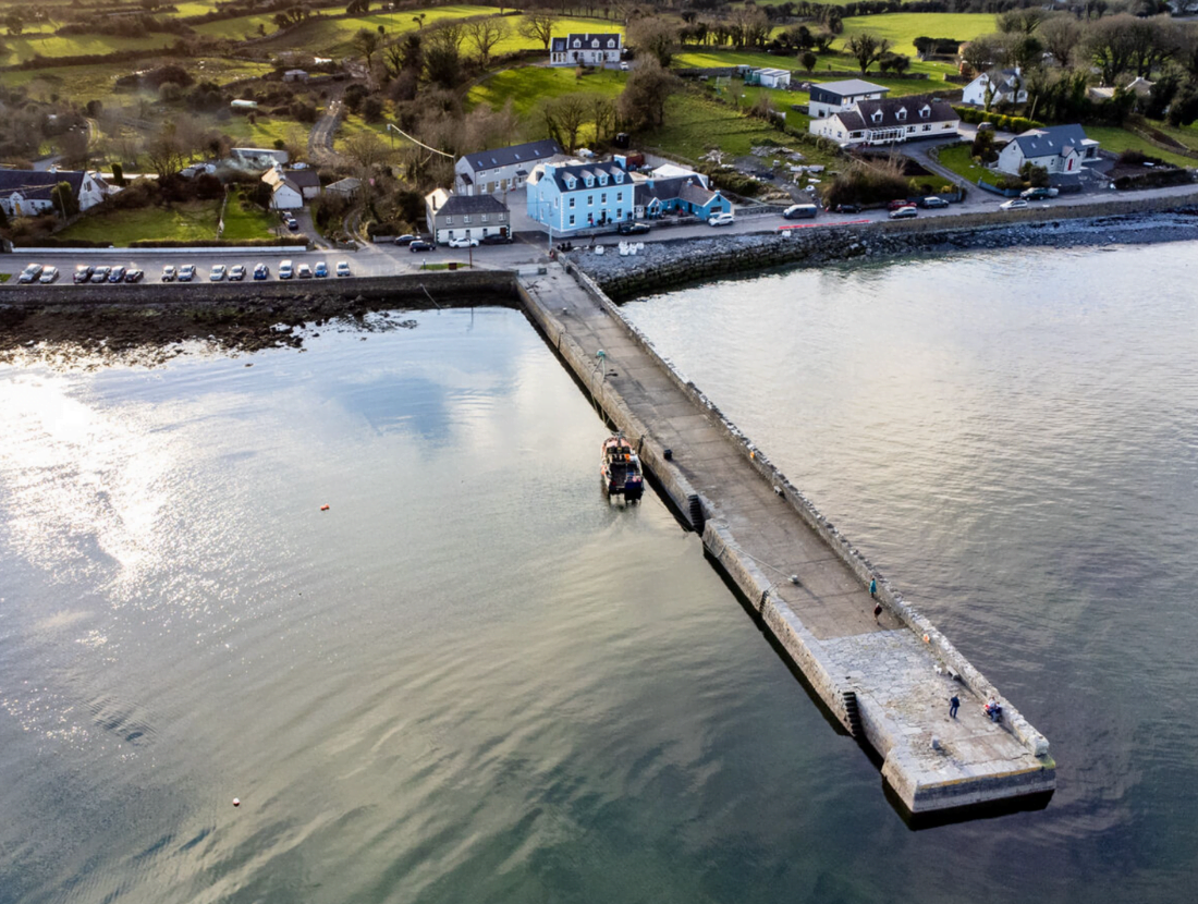
Start from the village of Ballyvaughan, which is located on the R477 and is a one-hour drive north of Ennis. The trailhead is located in the village, at the car park on the coast road to Fanore.
A-B: Travel down the road across from the trailhead map board, passing the Primary School on your left. This section of the loop is also part of the Burren Way. Follow the various purple arrows across a series of stone stiles and wooded sections to exit into a field which takes you on to a surfaced roadway where the loop turns left and leaves the Burren way, which turns right.
B-C: Follow the surfaced roadway for approximately 300m to reach the Main N67 – turn left, and almost immediately, turn right again onto a minor road. Follow this road to its conclusion at a metal gate into a field. Cross the stile and follow the purple arrows across the fields and through a path cut through a wooded area and fields to exit close to the entrance to Aillwee Cave, where you turn left.
C-D: Now follow the roadway for approximately 2 km to reach a T-junction, where you turn left. Pass through a gateway and join a green road. Follow this green road for approximately 300m to exit at a double gate. Continue straight as the green roadway changes to a surfaced roadway and eventually reaches a T-junction, where you turn left onto a minor surfaced road.
D-A: After approximately 400m on this surfaced road, you join the N67 Galway road, where you turn left for the last trek back through the village of Ballyvaughan to the trailhead.
Good to Know
Trailhead: The trailhead is located in Ballyvaughan at the car park on the coast road to Fanore.
Services: Ballyvaughan village
Distance: 8 km
Time: 2hrs-2hrs 30 mins
Difficulty: Easy
Terrain: Surfaced roadway, green roads, tracks, cross country
To suit: Medium level of fitness
Minimum Gear: Trekking shoes, waterproofs, fluids, snacks, mobile phone.
Caution: Rocks are slippery when wet
Download a 2-page Map Card
You can download a 2-page pdf of the Ballyvaughan Wood Loop here
About Ballyvaughan