Shadowed by Slieve Callan to the west and located a short drive from the county capital of Ennis is the large village of Kilmaley.
There is plenty of walking trails in the area including the short hike to the top of nearby Slieve Callan, West Clare’s highest mountain. On a clear day, you can enjoy panoramic views of Mount Brandon to the south, the Silvermine Mountains in Tipperary to the east, the Burren, and the hills of Connemara to the north, and Clare’s Atlantic coastline to the west.
Kilmaley is located on the Mid Clare Way, which takes walkers on a circular route through rolling countryside and the neighbouring villages of Kilnamona and Connolly. The extended Mid Clare Way takes six-days to complete. The 148km-loop boasts remote hills, river valleys and lake shore scenery in abundance and connects with the East Clare Way.
There are dozens of forest walking trails through forestry around Kilmaley, while the numerous lakes provide plenty of options for local anglers. Gortagannive Lough, Gortagannive Reservoir and Lough Naminna each hold stocks of brown trout.
The name “Kilmaley” came from the Irish language “Cill Mhaile”, which translates to Church of (Saint) Maley. The local church was constructed in 1844, just one year before the Great Famine.
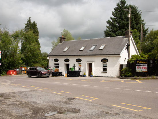
The village also features a national school, retirement home and community housing, an all-weather pitch, community centre, pub, shops, post office and a playground. Kilmaley GAA Club is a hive of activity and always affords a warm welcome to visitors looking to enjoy the spectacle of Ireland’s most ancient game being played.