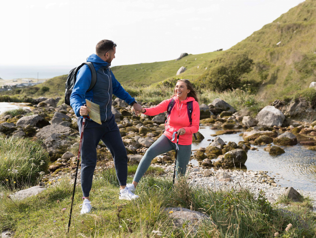
This 14.5 km loop climbs gradually up the Caher Valley before following an elevated green road, the highlight of the walk. Fine views of the surrounding Burren landscape, with the coast and the Aran Islands particularly spectacular.
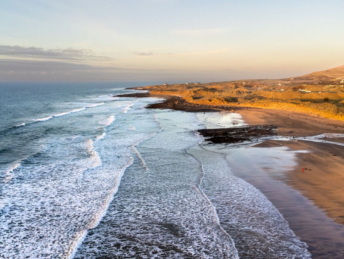
This loop starts and finishes in Fanore, a small village situated on the west coast of north County Clare. Fanore’s Gaelic meaning “fainne oir” means ring of gold, with reference to its beautiful sandy beach. The Caher Valley runs down to Fanore between Slieve Elva and Gleninagh. It has one of the few rivers in the Burren, the Caher, which cuts its way down through the rock and glacial deposit to emerge on the strand at Fanore and enter the sea. This loop walk is part of the network of walks under the Shannon Region Trails Programme and is marked using red directional arrows.
Directions to trailhead
Start from the village of Fanore, which is located on the R479, halfway between Ballyvaughan village and Doolin village in County Clare. Fanore is a one-hour drive north of Ennis. The trailhead is located at Fanore Beach car park.
A-B: Starting from the carpark turn left on the R479 road to Ballyvaghan and follow the red trails arrows. Walk this road for approximately 500m until you reach Fanore Bridge on the Caher River. Take a right turn here.
B-C: Walk this minor road with the Caher River running to your left, which is the only Burren River to remain overground as it cuts ever deeper into the valley. The walk also passes by St. Patrick’s Church on the right, which was built in 1870. Continue along this minor road for approximately 3.5 km until a T-junction is met. Turn right here, where you will also be joining the Burren Way.
C-D: Continue for a very short distance down this minor road and take the next right which will take you onto a ‘green road’.
D-E: On your immediate right, you will notice the old ruins of Formoyle Chapel, which was in use until 1870. Continue on this ‘green road’ (uphill) for approximately 3.5 km where beautiful views are evident, including the Aran Islands as well as the distant hills of Connemara.
E-F: As you reach the end of the ‘green road’, take a right leaving the Burren Way and on to a minor road. About 1km down this road you will see the old ruins of Faunarooska Castle on your right. Continue on this minor road (downhill) until a junction is reached, and turn right.
F-A: Continue on this minor road for approximately 1km (passing a school on the right) where the loop rejoins the R477. Continue to the right along the R477 for a short distance back to the trailhead car park at Fanore Beach.
Good to Know
Trailhead: Fanore Beach car park, North Clare
Services: Fanore, North Clare
Distance: 14.5 km
Time: 3-4hrs
Difficulty: Moderate
Terrain: Mix of minor roadways and green roads
To suit: Medium level of fitness
Minimum Gear: Sturdy walking boots, waterproofs, rucksack, fluids, snacks, mobile phone.
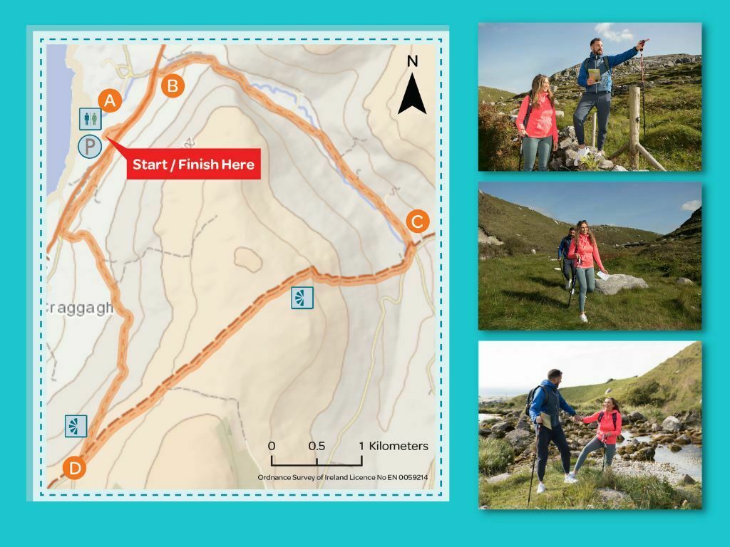
Download a 2-page Map Card
You can download a 2-page pdf of the Caher Valley Loop Walk here
About Fanore